YANGON GOOD GUIDE . HLADAY . YANGON
...
PUBLICATIONS
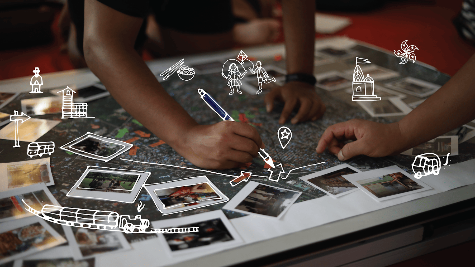
Maps hold unparalleled storytelling power. Eye candy and infographic at the same time, maps are simple and powerful tools to show different perceptions and ambitions of a street or neighbourhood. Our maps are SUBJECTIVE, we view a place through different COMMUNITY LENSES – from youth to elderly – and by layering maps we accentuate the commonalities and differences. Our maps are also SOFT, filled with personal anecdotes and memories that provide an instant and intime understanding beyond the hard numbers.
We work with illustrators, animators, creative writers and even urban poets to capture the essence of a place and the stories behind those places. We love deep individual conversations and small focus groups but are also keen to use digital tools to access wider communities. Our maps can be TAILORED TO THE TASK and we offer both DIGITAL AND HAND-DRAWN options to best fit into any planning, design or branding process.

Community mapping provides insightful input for architects and planners in the IDEATION STAGE of REAL ESTATE DEVELOPMENT and PLACE MAKING projects. The maps do not just define an area’s identity, they are a clear visualisation of the place’s present values and future possibilities and also provide insights into common grounds and conflicting interests among residents. Some recent examples include: an adaptive re-use project in Wanchai by the Hong Kong Urban Renewal Authority where community mapping laid the foundation for PUBLIC SPACE PROGRAMMING, TENANT MIX and BUILDING LAY-OUT, and memories of long-time residents underpinned a PLACEMAKING PROCESS in Sai Ying Pun, a gentrifying district in Hong Kong, and; in Ahmedabad India, we mapped two historic districts through the lens of women and children as input for the HERITAGE MANAGEMENT STRATEGY for the UNESCO listed walled city.

Our maps can also work their magic for PLACE BRANDING. Illustrated maps are like an artistic ode to the spirit of the place, they highlight the identity of a place – its soul – through the eyes of the people who live and work there. At the same time, they are a tool to bring foot traffic to lesser-known places and our complementary digital maps provide easy navigation and a great opportunity to highlight the stories behind those places; the entrepreneurs and businesses that make the place tick. Some examples include: the DIGITAL NEIGHBOURHOOD GUIDE based on the favourite choices of the tenant community of Swire Properties grade A commercial hub Taikoo Place in Hong Kong East and COMMUNITY-CREATED MAPS for the Butterworth Fringe Festival in Penang and the Bangkok Design Week.
.
“A valuable baseline study in the form of a rapid identification of key assets in the historic downtown area”
Dr. U Toe Aung, City Planning Department , Yangon District Committee
“If you want to mobilise a community, you need to recognise their roots”
Benjamin Sin, Caritas Hong Kong
“To find the personality of a city we need to understand why certain spaces became places”
Mariana Isa, Heritage Output Lab, Kuala Lumpur
“What iDiscover is doing is like making an archive of Hong Kong history – through the eyes of locals”
Amy Tse, Caritas Hong Kong
“The Mapping exercise provided key valuable input for the next steps in city planning and branding of this heritage town”
Mr. Narong Pattamasaevi, president of Niyom Pattamasaevi Foundation
cultural assets mapped
social capital unlocked
community connections
